Script #3
The script was generated following the completion of a suitability model for mine site locations in Trempealeau County, Wisconsin. To make the suitability model more complex, a weight was added to one of the feature classes. This weight gives presidence to a particular feature class's important. The 'Residential' feature class was run as having more 'importance' in this suitability model. The output map can be seen in the final blog on the home page.

Script #2
The script was created to select all mines without a rail loading station as well as 1.5 kilometers from a railroad. In order to do this, SQL statements needed to be written. The purpose of doing this task is to eliminate the mines that have a direct connection to a railroad, which will select the mines that require vehicular transportation. These selected mines will be used in future sand mine applications in the course.

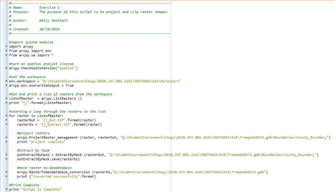
Script #1
Script #1 was used to project, clip, and extract the Trempealeau County raster files to make it easier to manage once in ArcMap. The data for this script was obtained from various web sources and was downloaded to a folder in preparation for the script. I quickly realized that scripting is extremely tedious and patience is a strong virtue used when programming.
No comments:
Post a Comment